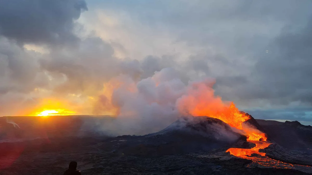
 from $157.55
 Fagradalsfjall Volcano Tour
The lava stopped moving in August 2023, and the crust it left still pushes heat up through the cracks. A Fagradalsfjall volcano tour walks you across 4.8 square kilometres of it, an hour from Reykjavík.
Updated July 2026
- Hikes from $148.72
- Guided in English
- Free cancellation 24h
Quick answer
Nothing is erupting at Fagradalsfjall right now. The mountain erupted three times, in 2021, 2022 and 2023, then the magma found a new path 6 km northeast at the Sundhnúkur crater row beside Grindavík, where the last eruption ended on 5 August 2025. What a Fagradalsfjall volcano tour gives you today is the ground those eruptions built: black lava you can stand on, steam still rising from cracks in it, and the wall Iceland threw up to keep the flow out of a town.
Key takeaways
- Most-booked and most reviewed: the geologist-led hike from Reykjavík, $157.55 per person, rated 4.8 from 839 travellers
- Highest rated: the small-group hike run by Grindavík locals who lived through the eruptions, 4.9 from 591 reviews at $148.72
- Cheapest way in: the Reykjanes minibus loop at $112.54, which reaches cooled lava without the 6–8 km climb
- Fastest and priciest: a 40-minute helicopter flight over the craters at $531.43, landing on the lava field
- Self-drive costs 1,000 ISK for 24 hours of parking at P1 or P2, and no scheduled bus serves the trailhead
- Every tour here cancels free up to 24 hours ahead, and most let you reserve now and pay later
top pick The Fagradalsfjall Volcano Hike With a Geologist
From Reykjavík: Fagradalsfjall Volcano Hike with Geologist
Hike up to Iceland's Fagradalfjall volcano on this group tour from Reykjavík. Learn more about the volcano and the recent eruptions from your geologist and volcanologist guide.
- Led by geologists who research this volcano, not by a driver with a script
- Groups run small enough that questions get answered on the trail
- Covers the 2021 and 2022 flows and the barriers built above Grindavík
- Rated 4.8 by 839 travellers, the most reviewed volcano hike on the peninsula
- Duration
- 4 to 6 hours
- Pickup
- Bus stops across central Reykjavík
- Included
- Working geologist as guide, transport, small group
- Price Range
- $157.55 per person
Check Dates for the Geologist Hike
Live availability for the Fagradalsfjall hike with a geologist, leaving Reykjavík. Four to six hours including the drive, English guiding, small group.
Fagradalsfjall Volcano Tours Compared
Six ways to reach the Reykjanes lava, from a $112.54 minibus loop to a helicopter that puts you down on the flow. Prices are per person unless the card says otherwise.
from $157.55 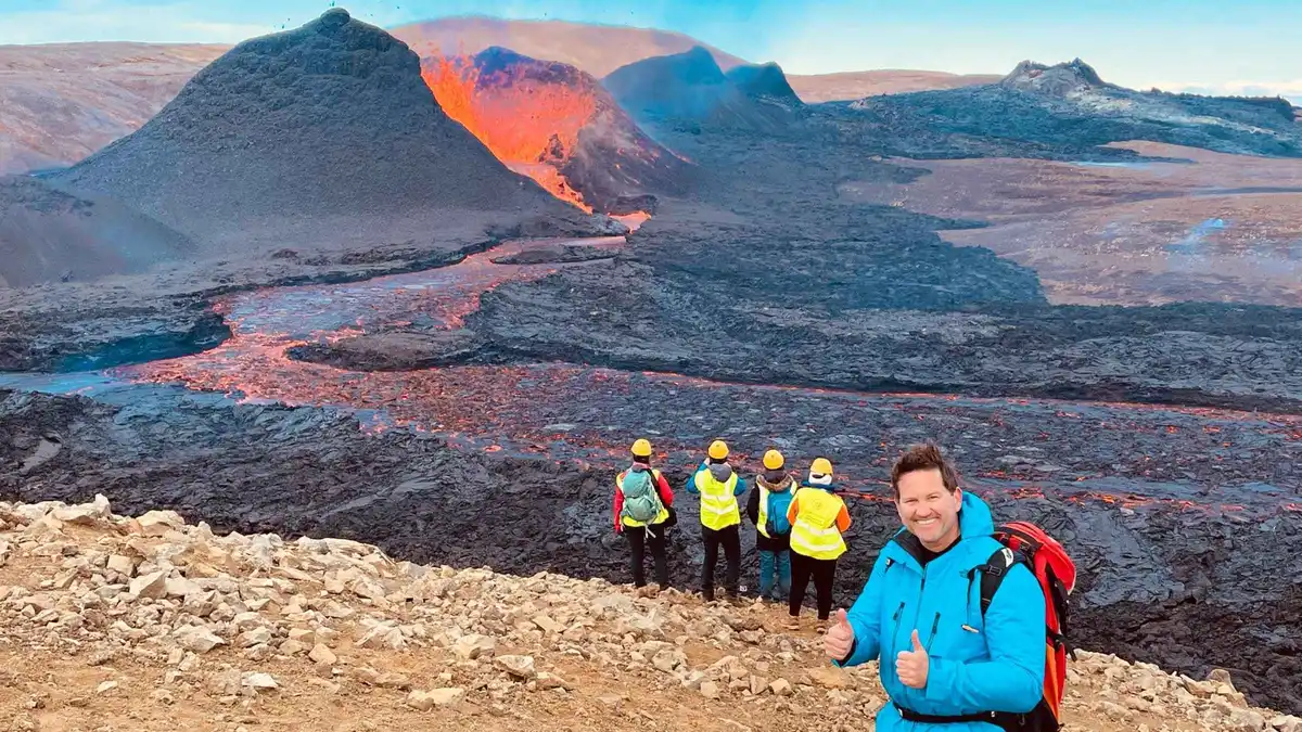 from $148.72
 Fagradalsfjall Volcano Hike - Small Group with Local Guide
Check Availability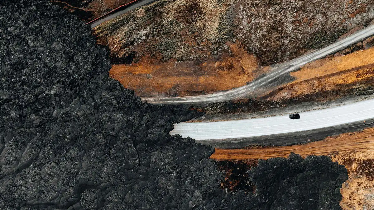 from $112.54
 From Reykjavik: Volcanic Peninsula & Grindavik Minibus Tour
Check Availability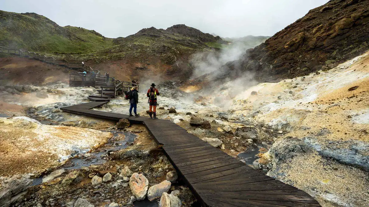 from $122
 Reykjavík: Volcanoes, Grindavík, Hot Springs, & Lava Tour
Check Availability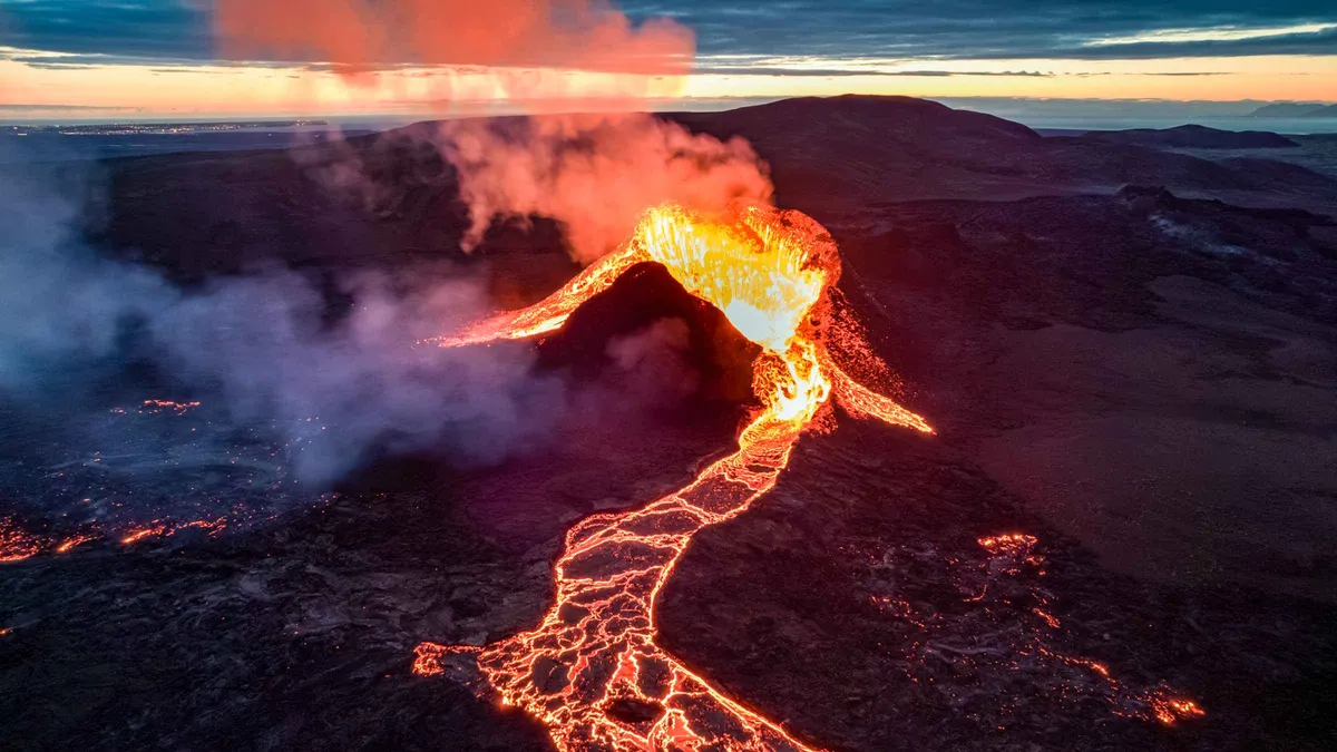 from $531.43
 From Reykjavik: New Volcanic Area Helicopter Tour
Check Availability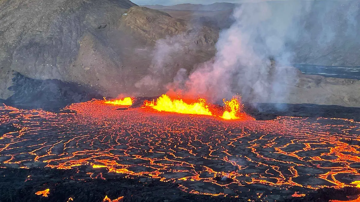 from $1430
 Reykjavik: Private Volcano Eruption Site & Reykjanes Tour
Check AvailabilityWhich Fagradalsfjall Tour Fits You
The six tours split by how far you walk and what you see at the end of it. Read the fitness column first, then the price.
| Tour | Time | Price | Book | Walking | Reaches | Suits |
|---|---|---|---|---|---|---|
| Geologist hike | 4–6 h | $157.55 | Check | 6–8 km, uphill | 2021 and 2022 lava | Anyone who wants the science, not the summary |
| Small-group hike | 4–6 h | $148.72 | Check | 6–8 km, uphill | Fresh lava and Grindavík | Hearing it from people who were evacuated |
| Reykjanes minibus | 6 h | $112.54 | Check | Short walks only | Lava edge, hot springs | Families and anyone skipping the climb |
| Volcano circle | 7 h | $122 | Check | Short walks only | Grindavík, Seltún, lava | A full day of Reykjanes in one van |
| Helicopter flight | 40 min | $531.43 | Check | A few steps | Craters from above | Short trips and limited mobility |
| Private day | 8 h | $1,430 per group | Check | As far as you like | Eruption site, your pace | Groups who want the day to themselves |
The Reykjanes Eruptions by the Numbers
Five years of eruptions rewrote this corner of Iceland. These are the figures behind the ground you walk on.
6,000 years
Fagradalsfjall stood quiet
The eruption of 19 March 2021 was the mountain's first in about 6,000 years, and the peninsula's first since the Reykjanes Fires ended in 1240
181 days
The 2021 eruption
It ran from 19 March to 18 September 2021, the longest eruption in Iceland this century
151 million m³
Lava from 2021 alone
Spread across 4.8 square kilometres of Geldingadalir and the valleys below it
12
Eruptions since March 2021
Three at Fagradalsfjall, nine at the Sundhnúkur crater row beside Grindavík
1,200 °C
Under a young crust
Which is why every guide on the peninsula says the same thing: stay off the lava
27.5 million m³
Magma waiting under Svartsengi
The Icelandic Meteorological Office measured this much accumulated since mid-July 2025, with ground uplift continuing
Is Fagradalsfjall Still Erupting? The July 2026 Position
Where Things Stand This Month
No eruption is under way anywhere on the Reykjanes peninsula. The last one started on 16 July 2025 at the Sundhnúkur crater row and stopped on 5 August 2025, three weeks later. That was the twelfth eruption since March 2021 and the ninth at that particular row of craters.
Fagradalsfjall itself has been quiet for longer. Its third and final eruption ended on 5 August 2023. Since December 2023 the magma has taken a different route to the surface, about 6 km northeast, next to Grindavík.
Quiet does not mean finished. The Icelandic Meteorological Office reports roughly 27.5 million cubic metres of magma accumulated under Svartsengi since mid-July 2025, with the ground still lifting at a steady rate. Their published assessment names a new dike intrusion, and possibly another eruption, as the most likely next step. Nobody can date it. What that means for a visit is simple enough: book the tour you want, and check the operator's message the morning you go.
So Can You Still See Lava at Fagradalsfjall?
Not flowing, and not glowing. Anyone selling you a photograph of orange lava as a picture of what you will see this month is selling a photograph from 2021.
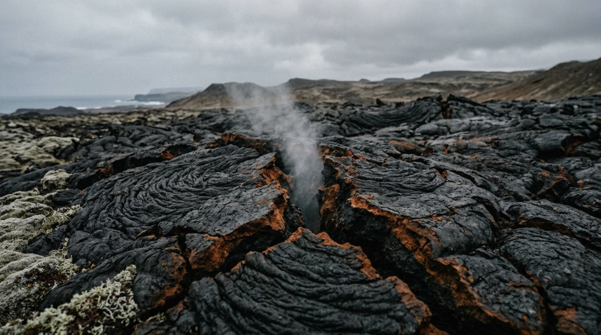
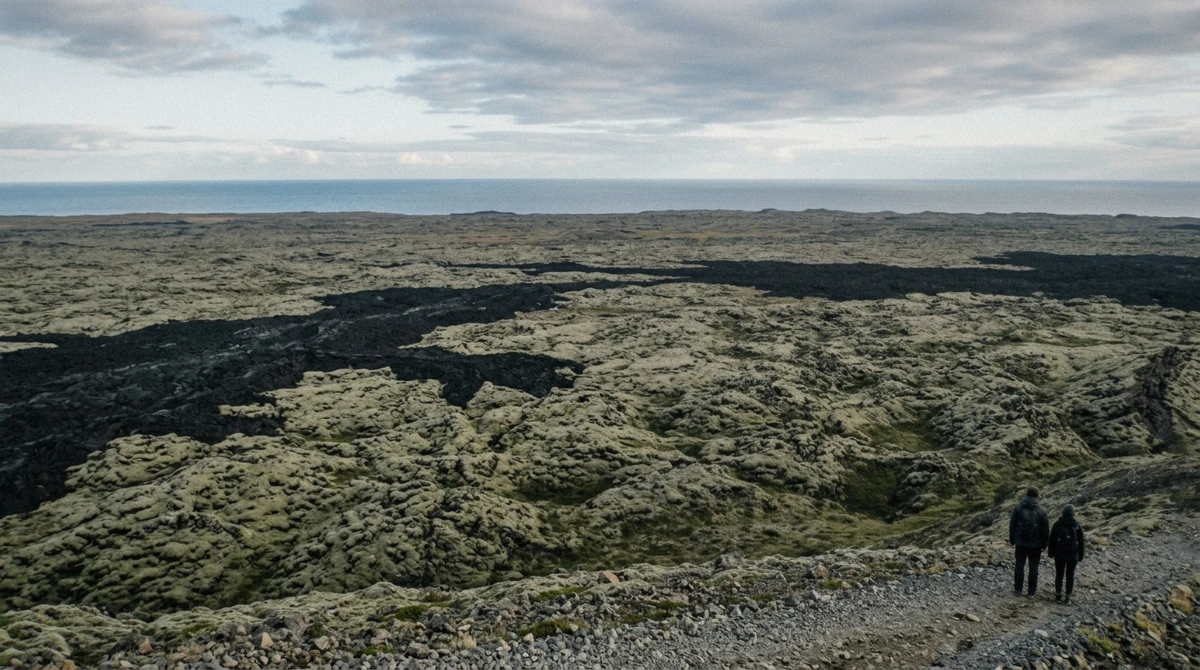
What you get instead surprises most people more than they expect. The 2021 flow covers 4.8 square kilometres of ground that was grass and moss five years ago. Walk onto the marked edge of it and the surface is black, ropey, sharp underfoot and split by cracks that still breathe warm air. One traveller on the July 2026 hikes put it plainly: no actual lava, but walking on the cooled lava field, with a guide who lived through the eruption showing videos of what the same spot looked like on fire.
Moss has started on the oldest parts and stops dead at the 2023 boundary, so you can read the sequence of eruptions off the ground by colour. From the air the line is sharper still. A helicopter passenger this July described it as razor-sharp: untouched nature on one side, scorched ground on the other.
Five Years of Eruptions, in Order
Where each eruption broke out, how long it lasted, and how much lava it left. The last three sit at Sundhnúkur, not at Fagradalsfjall.
-
19 Mar – 18 Sep 2021
Geldingadalir
Fagradalsfjall
- Ran
- 181 days
- Lava
- 151 million m³
First eruption here in about 6,000 years and the longest in Iceland this century. Lava covered 4.8 square kilometres.
-
3 – 21 Aug 2022
Meradalir
Fagradalsfjall
- Ran
- 19 days
- Lava
- 12 million m³
A fissure opened in the next valley north and filled it. Short, and close enough to the 2021 field to walk both.
-
10 Jul – 5 Aug 2023
Litli-Hrútur
Fagradalsfjall
- Ran
- 27 days
- Lava
- 15.9 million m³
The last Fagradalsfjall eruption, 1.5 square kilometres of new ground. Wildfires in the moss closed the trails for days.
-
Dec 2023 – Aug 2025
Sundhnúkur crater row
Grindavík
- Eruptions
- 9 in 20 months
- Grindavík
- Evacuated
The magma moved 6 km northeast and kept coming back. Iceland built earth barriers to steer the flows around Grindavík and the Svartsengi power plant.
-
16 Jul – 5 Aug 2025
Sundhnúkur crater row
Grindavík
- Ran
- 21 days
- Sequence
- 12th since 2021
The twelfth eruption since 2021. Nothing has erupted on the peninsula since it stopped.
-
July 2026
No eruption under way
Magma collecting under Svartsengi
- Status
- Quiet since Aug 2025
- Magma
- 27.5 million m³
Ground uplift continues at a steady rate. The Meteorological Office calls another intrusion the most likely outcome, without a date.
The Eruptions Since 2021 and Where the Lava Went
Three Eruptions at Fagradalsfjall
Fagradalsfjall is a tuya: a flat-topped mountain built up under an ice sheet, 385 metres high, sitting on a fissure system rather than a single crater. The name translates as mountain of the beautiful valley, which held up until the valley filled with lava.
The first eruption opened on 19 March 2021 in Geldingadalir and ran 181 days, closing on 18 September. It drew a crowd of about 350,000 people to a hillside 50 km from the capital and produced 151 million cubic metres of lava across 4.8 square kilometres.
The second came on 3 August 2022 in Meradalir, the valley immediately north, and lasted 19 days on 12 million cubic metres. The third opened at Litli-Hrútur on 10 July 2023, ran to 5 August, and added 15.9 million cubic metres over 1.5 square kilometres. Moss fires from that one shut the footpaths for days at a time.
All three sit within a few kilometres of each other, which is why one trail network reaches the lot.
Why the Action Moved to Grindavík
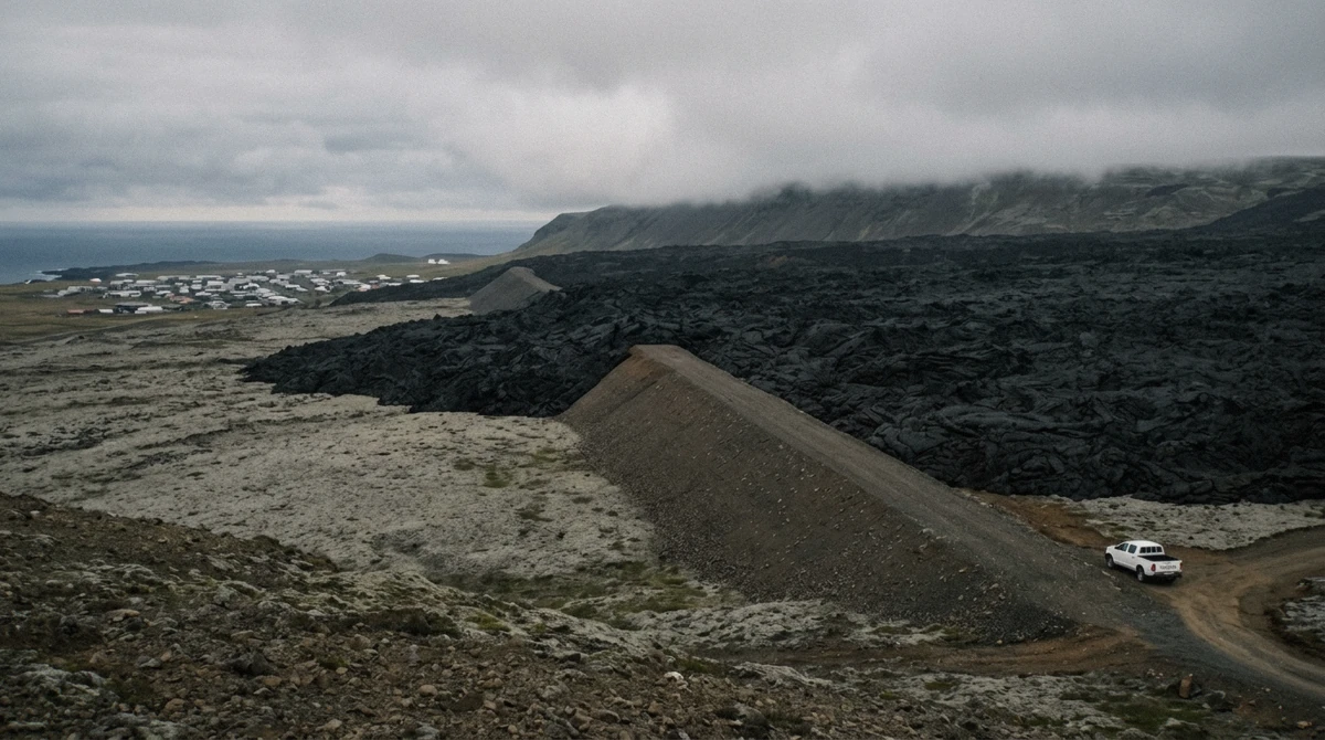
In December 2023 the ground opened again, this time along the Sundhnúkur crater row, about 6 km northeast and directly above the town of Grindavík. Nine eruptions have come from that row since. The town was evacuated, houses cracked along a fissure that runs through it, and engineers pushed up earth barriers to steer the lava around both the town and the Svartsengi power plant that heats the region.
Guides on the minibus tours drive you along those barriers and stop where the flow piled against them. Travellers coming off the July 2026 tours describe Grindavík as a ghost town, and the guides who grew up there tell you which house belonged to whom. That stretch of the route lands harder than the lava does.
Hiking Trails, Distances and How Long They Take
Five marked routes leave the two car parks. They vary from a 2 km stroll to a 20 km day, and the tours use different ones.
The Five Marked Paths
Trail A, marked pink, is the classic. It runs 6–8 km one way depending on where you park, takes about 2 to 2.5 hours each way, and delivers you to the 2021 and 2022 eruption sites. Most guided hikes on this page follow it or a section of it.
Trail B, dark blue, points at the newer ground. Its first viewpoint sits 4.7 km out and the second at 6.1 km, both looking over the Sundhnúkur lava.
Trail C, green, climbs Langihryggur ridge about 4 km one way. It is the only viewpoint that takes in the 2021, 2022 and 2023 fields at once, which makes it the best single stop for photographs.
Trail E runs to Meradalir and Litli-Hrútur at 18–20 km round trip and 5 to 6 hours of walking. Treat it as a full day with weather to spare.
The Nátthagi paths, yellow, run about 2 km one way. If you want to stand next to cooled lava without committing an afternoon, that is the one.
| Path | Colour | Distance one way | Time | What it reaches |
|---|---|---|---|---|
| Trail A | Pink | 6–8 km | 2 to 2.5 hours | 2021 and 2022 eruption sites |
| Trail B | Dark blue | 4.7 km to B1, 6.1 km to B2 | About 2 hours | Sundhnúkur lava, crater views |
| Trail C | Green | About 4 km | 1.5 to 2 hours | Langihryggur ridge, all three fields |
| Trail E | Blue | 18–20 km round trip | 5 to 6 hours | Meradalir and Litli-Hrútur |
| Nátthagi | Yellow | About 2 km | Under an hour | The lava front, easiest route |
How Long the Hike Really Takes
Allow half a day whichever path you pick. The distances read gentle on paper and walk harder than they read, because the surface is loose scree in places and hardened lava in others, and the wind decides your pace more than the gradient does.
Guided hikes budget 4 to 6 hours in total, and the drive from Reykjavík eats an hour of that at each end. Groups move at the speed of the slowest walker, which several reviewers count as a feature: one party this July hiked with a 70-year-old relative and reported no rush at any point.
Trails can close at short notice when gas readings climb or the ground starts moving again. Operators cancel and refund when that happens rather than send you up regardless.
The Five Trails, Side by Side
Colour, distance, time and difficulty for every marked route out of the Fagradalsfjall car parks.
Trail A
Pink waymarks- Distance
- 6–8 km one way
- Walking time
- 2 to 2.5 hours
- Reaches
- 2021 and 2022 eruption sites
Moderate
The route most guided hikes take. Steady climb, loose ground near the top.
Trail B
Dark blue waymarks- Distance
- 4.7 km to B1, 6.1 km to B2
- Walking time
- About 2 hours
- Reaches
- Sundhnúkur lava and craters
Moderate
Two staged viewpoints over the newest ground. Turn back at B1 if the weather closes.
Trail C
Green waymarks- Distance
- About 4 km one way
- Walking time
- 1.5 to 2 hours
- Reaches
- Langihryggur ridge
Moderate climb
The one viewpoint that shows 2021, 2022 and 2023 lava in a single frame.
Trail E
Blue waymarks- Distance
- 18–20 km round trip
- Walking time
- 5 to 6 hours
- Reaches
- Meradalir and Litli-Hrútur
Hard
A full day on exposed ground. Start early and carry more water than you think.
Nátthagi
Yellow waymarks- Distance
- About 2 km one way
- Walking time
- Under an hour
- Reaches
- The lava front
Easy
Flat and short. The route to take with children or a tight schedule.
Fagradalsfjall Volcano Hike Map
The two car parks, the eruption sites and the stops the minibus tours add on the way. Everything here sits inside the Reykjanes UNESCO Global Geopark.
Eruption sites
Car parks and towns
Getting There: Driving, Routes and Parking
The Drive From Reykjavík and Keflavík
The volcano sits about 50 km from Reykjavík, 32 km from Keflavík airport and 10 km from Grindavík, inside the Reykjanes UNESCO Global Geopark. From the capital, take Route 42 south across the peninsula, then Route 427 west toward Grindavík and east again to the car parks. Reckon on an hour.
From the airport it is shorter: Route 41 onto Route 43 toward Grindavík, 20 to 30 minutes. Plenty of people fit the hike into a layover, and the Blue Lagoon is about 15 minutes away when they finish.
No scheduled bus serves the trailhead. That leaves a rental car or a guided tour with pickup in Reykjavík, and the pickup is what most people choose once they have priced a car for one day.
Parking at P1 and P2
Two car parks serve the trail network, and both charge the same.
- P1 Geldingadalir is the main one, at the foot of Trail A and the Nátthagi paths
- P2 Stóri-Leirdalur sits a little further along and puts you nearer Trail C
- Parking costs 1,000 ISK, about 8 USD, and covers 24 hours
- Pay through the Parka app or on parka.is; there is no barrier and no attendant
- Roadside parking is not allowed anywhere along Route 427
- Neither car park has a shop, a café or drinking water
Guided Tour or Self-Drive to the Volcano
Both work. The sums land differently depending on how many of you there are and how much you want explained.
Driving yourself costs a day's car hire plus fuel plus 1,000 ISK for the car park, and you set your own turnaround time. What you give up is the commentary, and on this particular hike the commentary is most of the value. The guides are geologists who study the volcano, or Grindavík residents who were evacuated from it. Neither is something you can read off a trail sign.
The hybrid exists too. One operator lets you meet the guide at the site in your own car, which travellers this July reported working well.
| Self-drive | Guided tour | |
|---|---|---|
| Cost, one person | Car hire, fuel, 1,000 ISK parking | $112.54 to $157.55 all in |
| Cost, four people | Cheaper per head | Four times the ticket |
| Commentary | None | Geologist or local resident |
| Route choice | Yours | Set, but paced to the group |
| If gas closes the trail | You find out at the car park | Operator cancels and refunds |
| Winter driving | Your problem | Their problem |
What Travellers Say About the Volcano Hike
★★★★★
★★★★★
We decided to use our own transportation and it worked great. Met our guide Hiffe at a hotel parking lot and traveled to our destinations. The hike was long but beautiful. Didn't see any actual lava but did see and walk on the cooled lava field. Hiffe had a lot of knowledge of the area and shared videos of the eruptions so we could get an idea of what they looked like.
★★★★★
★★★★★
Exploring the Fagradalsfjall lava fields with a career geologist is a must. […] France was thorough in her explanations of the various features and phenomena we witnessed, from a landscape scale to the minute detail of mosses colonising the fresh lava. The drive to and from the main site gave excellent context to the region and it was especially interesting to learn about geothermal infrastructure and the colossal efforts to contain or redirect lava flows.
★★★★★
★★★★★
Despite the constant rain, wind and mist, we really enjoyed our hike over the lava fields on 14 July. Our guide was Oddi and he was very informative about what had happened when the recent lava came and the aftermath. We felt very safe with him in the bad weather and I admit I needed a little helping hand on the descent on the wet uneven rocky path.
★★★★★
★★★★★
Such a unique beautiful experience. lt was thrilling to see the terrain and the heat you can feel through cracks in the valleys of lava rocks. Thankfully the volcanos are not active as of yet but still so beautiful to walk amongst the mountains and delicate lava field and learn about how it impacted the surrounding area, and the damage control of the aftermath.
★★★★★
★★★★★
Expensive, but worth every penny - bird's-eye views you won't forget! Comfortable 5-seater helicopter; passengers rotated to the front seat at each stop […] my personal highlight - the fresh lava fields from the 2022–2025 eruptions. The lava is so young there's no moss on it yet, the line between untouched nature and scorched ground is razor-sharp. We even walked on lava and saw steaming red-black craters from above.
★★★★★
★★★★★
Much more interesting and varied than we had expected - visited active geothermal areas but also the area around Grindavik where we could get a feel for the power and destructiveness of the eruptions there the last two years. We were a small group so we got to do a couple of extra stops to explore the continental divide and the high waves on the southern coast.
Quotes come from the GetYourGuide listings for the tours on this page, reproduced as written and shortened where marked.
Why Book a Guided Fagradalsfjall Volcano Tour
The guides were here when it erupted
The small-group hike is run by people from Grindavík who were evacuated from their own houses. They point at the fissure that runs through the town and tell you whose street it was.
Geologists guide the flagship hike
France and her colleagues research this volcano. Reviewers describe maps drawn in the dirt and rock samples stashed along the route to explain what you are standing on.
Weather makes the call, not you
Rain, wind and mist are normal on this ridge. A guide who has walked it 300 times knows when the descent is safe on wet rock and when to turn the group around.
Trails close without warning
Gas readings and fresh activity shut sections of the network at short notice. Operators cancel and refund; a self-driver finds out at the car park.
Prices here are the operator's own
We list what GetYourGuide charges, with the rating and review count each tour has actually earned. No markup sits on top, and we take no payment.
Cancel free the day before
Every tour on this page refunds in full up to 24 hours ahead, which covers an Icelandic forecast that changes overnight.
Gas, Hot Lava and What to Bring
Staying Safe on the Lava Field
With nothing erupting, the hazards are the ground and the air. Neither is dramatic, and both are worth taking seriously.
The crust of a young flow can be hollow. It looks like solid rock, it holds a crow, and it breaks under a person. Rock beneath a recent flow can still sit around 1,200 degrees Celsius, which is the reason every guide repeats the same instruction: stay on the marked path and off the lava.
The air hazard is sulphur dioxide, which seeps out of cooling lava and pools in hollows when the wind drops. Check the Icelandic Meteorological Office gas forecast and safetravel.is before you set out. If you catch a sulphur smell on the trail or your chest tightens, walk out and move upwind.
- Check the gas forecast on vedur.is and conditions on safetravel.is the morning you go
- Stay on the marked paths; the lava crust is hollow in places
- Move upwind and leave if you smell sulphur or start coughing
- Expect sections to close at short notice when readings climb
- Tell someone your route if you are walking without a guide
What to Wear and Bring on the Volcano Hike
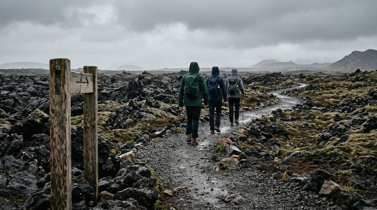
Hiking boots with ankle support are not a suggestion here. The lava is uneven, rocky and sharp enough to open a trainer, and the descent on wet rock is where people slip.
The rest is standard Icelandic packing: wind and waterproof layers whatever the forecast says, because the forecast on this peninsula has a half-life of about two hours. Reviewers who hiked in July still described constant rain, wind and mist, and one from northern Canada was cold in what she thought was summer kit.
- Hiking boots with ankle support, worn in before you fly
- Waterproof jacket and trousers, plus a warm mid layer
- Hat and gloves, including in July
- Water and food; there is nothing to buy at either car park
- Sunglasses and sun cream for the glare off black rock
- Spikes or micro-crampons between November and April
- A charged phone, with the Parka app installed for parking
Best Time of Year to Hike Fagradalsfjall
The trails stay open year round, and the number that decides your day is daylight. Reykjavík gets about 21 hours of daylight around the June solstice and a little over 4 hours around the December one. Between those extremes sits every practical consideration about this hike.
June to early September gives you snow-free ground, evening light for the walk out and enough margin that a slow group finishes in daylight. It also brings the crowds and the higher tour prices.
May and late September work well if you can take changeable weather. Between November and March the hike becomes a winter walk: ice on the descent, spikes on your boots, and a start time chosen so you are down before dark. Some operators shorten the route in those months. The upside is an empty trail and, on a clear night, aurora over black ground.
Reykjanes Month by Month for the Hike
Daylight hours are what decide whether the walk is comfortable. Day-high temperatures barely move across the year.
- 5h Jan 2°C
- 8h Feb 2°C
- 11h Mar 3°C
- 15h Apr 6°C
- 19h May 9°C
- 21h Jun 12°C
- 20h Jul 13°C
- 17h Aug 13°C
- 13h Sep 10°C
- 9h Oct 6°C
- 6h Nov 3°C
- 4h Dec 2°C
- Long daylight, snow-free trails
- Workable, changeable weather
- Short days, spikes needed
Nearby Stops on the Reykjanes Peninsula
What Else Fits Into the Same Day
The peninsula packs a lot into a short drive, which is why the minibus tours cover ground the hikes never touch. If you are driving yourself, any two of these fit around the walk.
- Blue Lagoon, about 15 minutes from the car parks and the obvious place to put sore legs
- Seltún at Krýsuvík, boiling mud pools and sulphur flats on a boardwalk, a stop on both minibus tours
- Kleifarvatn, the lake the volcano circle tour photographs on the way back
- Gunnuhver, the peninsula's loudest steam vent, out at the western tip
- The Bridge Between Continents, a footbridge across the rift between the North American and Eurasian plates
- Grindavík itself, where the harbour restaurants reopened before much else did
See the Hike Before You Book
Three clips filmed on this ground: a geologist-led hike, an honest look at how hard Trail A is, and an operator walking the Reykjanes lava fields this year.
Iceland volcano hike at Fagradalsfjall with a geologist
The geologist-guided hike filmed end to end, which is the tour featured at the top of this page.
Video: Travel With WesIs the hike to the volcano really that difficult? Route A
A walk-through of Trail A shot on the trail, answering the question most people ask before booking.
Video: Time Warp IcelandReykjanes lava fields and Grindavík tour
Operator footage from this year covering the newest lava and the barriers above Grindavík.
Video: Arctic Adventures IcelandVideos load only after you click, and play through youtube-nocookie.com.
Fagradalsfjall Volcano Tour Questions
Is Fagradalsfjall still erupting today?
No. Fagradalsfjall last erupted between 10 July and 5 August 2023 at Litli-Hrútur. After December 2023 the magma shifted about 6 km northeast to the Sundhnúkur crater row beside Grindavík, and the most recent eruption there ran from 16 July to 5 August 2025. Nothing has erupted on the Reykjanes peninsula since. The Icelandic Meteorological Office reports about 27.5 million cubic metres of magma accumulated under Svartsengi with the ground still rising, and calls a further intrusion or eruption the most likely outcome, without naming a date.
Can you still see lava at Fagradalsfjall?
Not molten lava, no. What you see is the ground three eruptions left behind: 4.8 square kilometres of black, ropey rock from 2021 alone, with steam still rising from cracks in it and moss creeping across the older sections. Travellers on the July 2026 hikes describe feeling the heat through the crust. If you want orange lava in a photograph you need an eruption, and nobody can promise you one.
How long does it take to hike Fagradalsfjall volcano?
Trail A, the main route, runs 6–8 km one way and takes about 2 to 2.5 hours each way. Trail C up Langihryggur is about 4 km one way, and the Nátthagi paths are about 2 km. The long option, Trail E to Meradalir and Litli-Hrútur, is 18–20 km round trip and 5 to 6 hours of walking. Guided hikes from Reykjavík budget 4 to 6 hours in total including the drive at each end.
Is Fagradalsfjall volcano worth visiting?
Yes, if you understand what you are going to see. You will not see an eruption. You will walk on rock that was liquid five years ago, in a landscape where the boundary between old moss and new lava is drawn in a line you can step over. The guided hikes rate 4.8 and 4.9 across 1,430 reviews between them, and the recurring theme in those reviews is the guiding rather than the view: geologists who research the volcano, and Grindavík residents who were evacuated from it.
How much does a Fagradalsfjall volcano tour cost?
The Reykjanes minibus loop starts at $112.54 and the seven-hour volcano circle at $122, both with short walks rather than the full climb. The small-group hike with local guides is $148.72 and the geologist-led hike $157.55. A 40-minute helicopter flight over the craters costs $531.43, and a private eight-hour day runs $1,430 for the group. Driving yourself costs a day's car hire plus 1,000 ISK for parking.
Is there a shuttle or bus to Fagradalsfjall?
No scheduled bus serves the trailhead, and there is no public shuttle to the car parks. The options are a rental car, a taxi you have arranged to come back for you, or a guided tour with pickup in Reykjavík. Most of the tours on this page collect from bus stops or hotels in the city centre, and one lets you drive yourself and meet the guide at the site.
Can you hike Fagradalsfjall without a guide?
Yes. The paths are marked, the car parks are signposted, and 1,000 ISK covers 24 hours of parking at P1 or P2. Check the gas forecast on vedur.is and conditions on safetravel.is first, stay off the lava itself, and take proper boots and waterproofs. What you lose is the explanation of what you are looking at, which on this hike is most of the reason people come back happy.
Where is Fagradalsfjall and how do I get there?
It sits on the Reykjanes peninsula in southwest Iceland, inside the Reykjanes UNESCO Global Geopark, about 50 km from Reykjavík, 32 km from Keflavík airport and 10 km from Grindavík. Drive Route 42 south from the capital then Route 427 toward Grindavík, roughly an hour. From the airport take Route 41 onto Route 43, 20 to 30 minutes. The Blue Lagoon is about 15 minutes from the car parks.
What should I wear on the volcano hike?
Hiking boots with ankle support, because the lava is uneven and sharp and the descent gets slippery in rain. Add waterproof layers top and bottom, a warm mid layer, and a hat and gloves even in July. Carry your own water and food; neither car park sells anything. Between November and April bring spikes for your boots and start early enough to be back before dark.
Is it safe to visit the volcano now?
With no eruption under way and the trails open, yes, on two conditions. Stay on the marked paths, because the crust over a young flow can be hollow and rock underneath a recent one can still reach around 1,200 degrees Celsius. And check the sulphur dioxide forecast before you go, since gas from cooling lava pools in hollows when the wind drops. Sections of the network close at short notice when readings climb.